IMU vs GPS vs AHRS A Complete Comparison for 2025
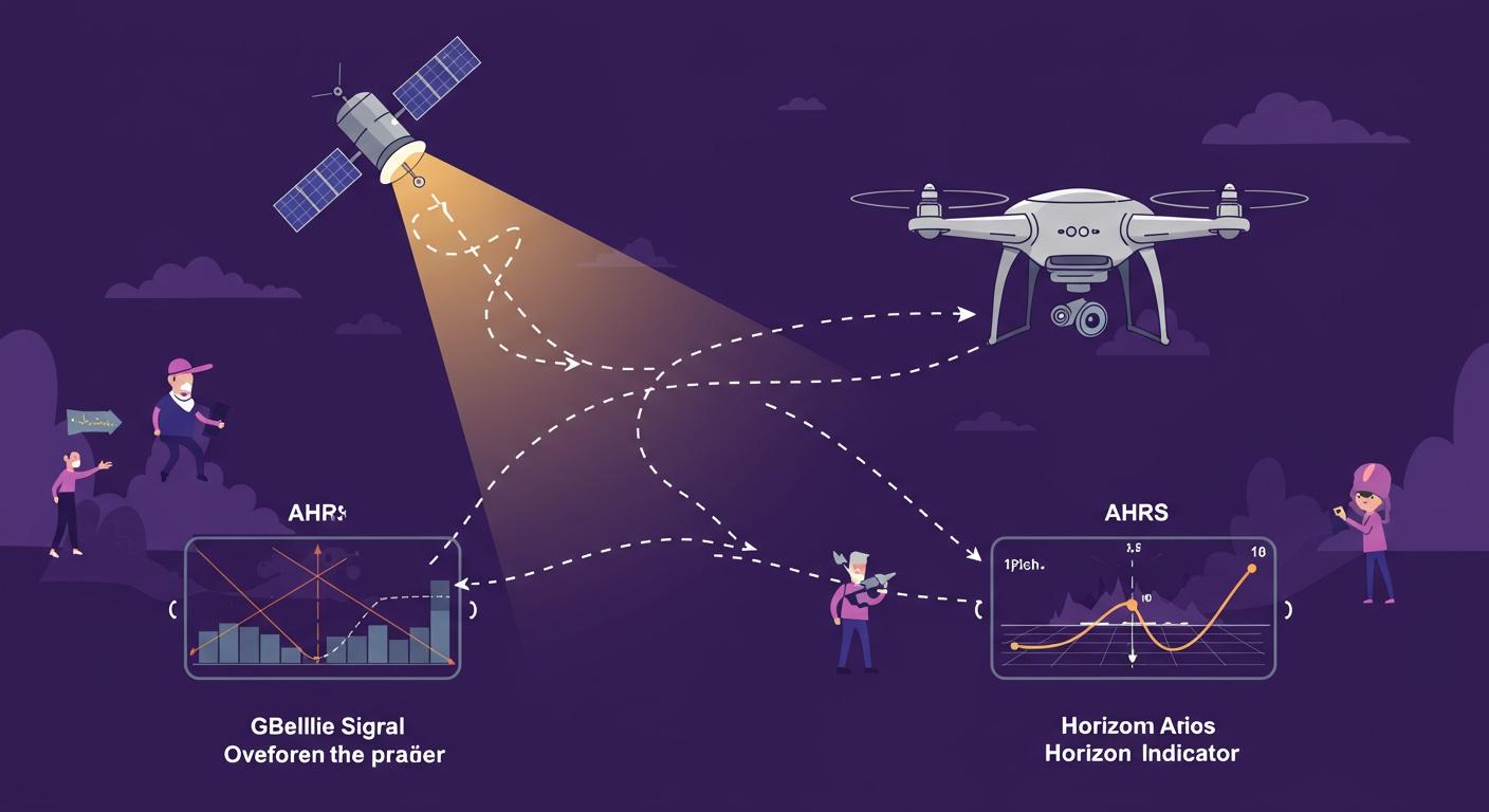
Navigating the world of motion sensors can seem complex. Each device serves a unique purpose, answering a specific question about an object's state.
An inertial measurement unit (IMU) senses motion. A GPS finds your location on Earth. An attitude and heading reference system (AHRS) determines your orientation.
These devices all relate to movement and position. However, they answer very different questions. The market for these sensors is growing rapidly, with the high-performance inertial measurement unit (IMU) market projected to reach $7.8 billion by 2026. This guide helps select the right sensor for projects ranging from simple robotics to advanced autonomous vehicles.
Key Takeaways
- An IMU measures how an object moves. It uses accelerometers and gyroscopes to sense motion and rotation.
- A GPS tells you where you are on Earth. It uses satellite signals to find your exact location.
- An AHRS shows which way an object is pointing. It combines an IMU with a compass and a computer to give a steady direction.
- Combining these sensors makes systems stronger. For example, an INS uses IMU and GPS together for full navigation, even when GPS signals are weak.
Understanding the Inertial Measurement Unit (IMU)
An inertial measurement unit (IMU) is a device that directly measures an object's motion. It senses changes in velocity, orientation, and gravitational forces. The core of an IMU contains two key types of sensors: accelerometers to measure linear acceleration and gyroscopes to measure angular velocity.
Core Function and Components
The primary job of an inertial measurement unit is to detect motion. It achieves this using its internal components. Different types of inertial measurement units exist, each with unique trade-offs. Most consumer and industrial devices use MEMS (Micro-Electro-Mechanical Systems) technology. These are small, affordable, and power-efficient. For applications demanding extreme precision, Fiber Optic Gyroscope (FOG) IMUs are used. These high-precision sensors offer superior accuracy but are larger and more expensive.
| Feature | MEMS IMU | FOG IMU |
|---|---|---|
| Technology | Micro-mechanical components on a chip. | Light interference in fiber optic coils. |
| Cost | Low | High |
| Size | Very Small | Larger |
| Accuracy | Good for most uses, but has drift. | Extremely high with very low drift. |
| Applications | Smartphones, drones, wearables. | Aerospace, submarines, high-end robotics. |
Output: Raw Sensor Data
An IMU does not output a simple location or direction. Instead, it provides a continuous stream of raw sensor data. This data represents the change in velocity and rotational rate at a specific moment.
What does the data look like? The output is typically a series of numbers for each axis (X, Y, Z). For example:
Accelerometer: [ax, ay, az]in m/s²Gyroscope: [gx, gy, gz]in deg/s
This raw data requires processing. A developer must interpret these values to calculate an object's movement over time. The measurement accuracy depends on both the sensor quality and the software algorithms used.
Common Applications
IMUs are found in countless modern technologies. Their ability to detect motion makes them essential for many devices.
- Consumer Electronics: Smartphones use an IMU to rotate the screen and for motion controls in games. Fitness trackers use them to count steps and monitor physical activity.
- Industrial Systems: In factories, these sensors monitor machine health by detecting unusual vibrations. They also provide stabilization for platforms like 5G antennas and agricultural drones, ensuring stable operation.
Defining the Global Positioning System (GPS)
Unlike an IMU that senses relative motion, the Global Positioning System (GPS) provides an absolute position on the globe. A GPS receiver determines its location by listening for signals from a network of satellites orbiting Earth. It is the technology that answers the fundamental question: "Where am I?"
Core Function and Operation
The core function of a GPS receiver is to calculate its own position through a process called trilateration. To achieve a reliable gps position, the receiver must lock onto signals from multiple satellites simultaneously.
Why are four satellites needed? A common misconception is that three satellites are enough. While three can narrow down a location, a fourth is crucial for high accuracy.
- Signals from three satellites can identify two possible points for your position.
- A fourth satellite signal resolves this ambiguity to pinpoint the exact location.
- This fourth measurement also corrects timing errors, as the clock in a GPS receiver is less precise than the atomic clocks on the satellites.
For applications demanding even greater precision, techniques like real-time kinematics (RTK) can improve the measurement accuracy of a gps position down to the centimeter level.
Output: Global Coordinates
A GPS module does not output raw motion data. Instead, it provides structured data sentences that contain geographic coordinates. A very common format is the NMEA 0183 standard, specifically the $GPGGA sentence.
$GPGGA,123519,3150.788156,N,11711.922383,E,1,08,0.9,90.0,M,8.2,M,,*62
This string of text contains a complete gps position fix. The most important fields are broken down here:
| Field | Example | Description |
|---|---|---|
<Lat> | 3150.788156 | Latitude (DDMM.MMMMM) |
<N/S> | N | North or South |
<Long> | 11711.922383 | Longitude (DDDMM.MMMMM) |
<E/W> | E | East or West |
<Alt> | 90.0 | Altitude above sea level |
<AltVal> | M | Unit for altitude (Meters) |
Common Applications
The ability of gps to provide a reliable position has made it essential in numerous industries. Its applications are widespread and continue to grow.
- Logistics and Fleet Management: Companies use gps for real-time vehicle tracking and route optimization. This practice reduces fuel costs, improves delivery times, and allows managers to monitor their entire fleet from a central dashboard. The gps provides the core data for efficient operations.
- Precision Agriculture 🚜: Modern farms use gps to enable automated steering for tractors. This ensures perfect rows, reduces fuel use, and minimizes overlap when planting or spraying. It also allows for variable rate application, where fertilizer is applied only where needed, saving money and protecting the environment.
Explaining the AHRS (Attitude and Heading Reference System)
An attitude and heading reference system (AHRS) is an advanced system that provides an object's complete orientation in 3D space. Think of an AHRS as a significant evolution of the IMU. It takes the raw motion data from an IMU, adds more sensory input, and uses an onboard processor to deliver a clean, stable orientation solution.
Core Function: Calculating Orientation
The primary function of an attitude heading reference system is to compute an object's orientation relative to a frame of reference. It answers the question, "Which way am I pointing?" by calculating its roll (tilt side-to-side), pitch (tilt forward-and-back), and yaw (turn left-or-right). This makes the AHRS essential for any application that requires stable orientation data.
Key Components and Onboard Processing
An AHRS builds upon a standard IMU by adding two critical elements: a three-axis magnetometer and an onboard microprocessor.
- IMU (Accelerometer + Gyroscope): Provides the foundational motion and rotation data.
- Magnetometer: Measures the Earth's magnetic field. This acts like a digital compass, giving the AHRS an absolute reference for its heading (yaw), which helps correct the gyroscope's drift.
- Microprocessor: Runs complex software to process all the sensor data in real-time.
Note: While a gps module is often paired with an AHRS to create a full navigation system, it is not a mandatory component of the base attitude heading reference system itself.
The Role of Sensor Fusion
The true power of an AHRS comes from sensor fusion. This is the process of intelligently combining data from all its sensors to produce an output that is more accurate than any single sensor could provide alone. The gyroscope in an imu is great for measuring fast rotations but drifts over time. The accelerometer and magnetometer are stable long-term but are noisy and susceptible to external forces.
Sensor fusion algorithms use the accelerometer and magnetometer data to constantly correct the gyroscope's drift. This fusion provides a smooth, responsive, and drift-free orientation. Common sensor fusion algorithms include the Kalman filter, Madgwick filter, and Mahony filter. Each sensor fusion algorithm uses a different mathematical approach to achieve high accuracy.
Output: Roll, Pitch, and Yaw
Unlike an IMU that outputs raw data, a digital output high-precision ahrs provides processed orientation data. This is typically delivered in one of two formats: Euler Angles or Quaternions.
| Format | Description | Best For |
|---|---|---|
| Euler Angles | A set of three angles (roll, pitch, yaw). They are intuitive and easy to understand. | Simple visualization and direct control. |
| Quaternions | A four-number mathematical expression. They are less intuitive but avoid problems like gimbal lock. | Complex 3D calculations and robotics. |
Choosing the right format depends on the project's specific needs for accuracy and computational complexity.
Head-to-Head Comparison

Choosing the right sensor depends on understanding their core differences. An IMU, GPS, and AHRS each provide unique data. This section breaks down how they compare directly, helping you select the best tool for your project.
IMU vs. AHRS: Key Distinctions
The main difference between an inertial measurement unit and an AHRS is intelligence. An AHRS is an evolution of the IMU. It adds a magnetometer and an onboard processor to turn raw data into a stable orientation solution. An IMU simply reports raw motion data. An AHRS processes that data to provide a clean output.
The magnetometer is a key addition. It measures the Earth's magnetic field. This gives the AHRS a stable heading reference, much like a compass. This reference helps correct the gyroscope's natural tendency to drift over time. An IMU without a magnetometer cannot maintain a stable heading and will accumulate errors. The AHRS uses sensor fusion to combine all its inputs for a reliable result.
The onboard processor in an AHRS performs the complex calculations. An IMU requires an external computer to do this work.
| Feature | IMU (Inertial Measurement Unit) | AHRS (Attitude and Heading Reference System) |
|---|---|---|
| Onboard Processing | Only transmits raw sensor data | Includes an onboard processing system |
| Output Data | Raw sensor data (acceleration, angular rate) | Attitude and heading information (pitch, roll, yaw) |
| Calculation Location | External equipment | Onboard |
| Advanced Estimation | Not typically | Often uses advanced estimation like a Kalman filter for data fusion |
Function: Motion vs. Position vs. Attitude
Each system answers a different fundamental question. An IMU answers "How am I moving?" A GPS answers "Where am I?" An AHRS answers "Which way am I pointing?" This table provides a clear contrast between the three technologies.
| Metric | IMU | GPS | AHRS |
|---|---|---|---|
| Primary Output | Raw Data (Acceleration, Angular Rate) | Absolute Position (Latitude, Longitude, Altitude) | Orientation (Roll, Pitch, Yaw) |
| Core Components | Accelerometer, Gyroscope | Satellite Receiver | IMU, Magnetometer, Processor |
| Primary Function | Senses raw motion and rotation. | Determines global location. | Calculates stable orientation. |
| Drift | High (uncorrected) | None (absolute reference) | Low (corrected by fusion) |
| Complexity | Low (provides raw data) | Medium (requires satellite lock) | High (runs fusion algorithms) |
| Cost | Low | Low to Medium | Medium to High |
A Note on Inertial Navigation Systems (INS)
Sometimes, you need everything: position, orientation, and velocity. This is where an inertial navigation system (INS) comes in. An INS is a more advanced system that combines an IMU, a GPS, and a sophisticated processor. It represents the next step up from an AHRS. A full-featured inertial navigation system provides a complete navigation solution.
An inertial navigation system uses sensor fusion to blend the strengths of each component. The IMU provides high-rate motion data, while the GPS provides absolute position data to correct for drift. This fusion creates a continuous and robust navigation output.
The process works in several steps:
- Sense Motion: The internal IMU constantly measures acceleration and angular rate.
- Calculate Velocity and Position: The INS processor integrates acceleration to find velocity. It then integrates velocity to estimate position.
- Estimate Orientation: The system uses gyroscope data to determine roll, pitch, and yaw.
- Apply Sensor Fusion: A powerful algorithm, like a Kalman filter, combines the IMU data with GPS data. This corrects drift and improves overall accuracy.
- Deliver Navigation Output: The INS provides a real-time stream of position, velocity, and attitude data.
This powerful combination makes an INS incredibly useful. In environments like urban canyons where GPS signals are weak or blocked, the INS can continue to provide an accurate position for short periods. The system seamlessly switches between GPS-aided and GPS-denied models, ensuring reliable navigation. This makes the INS the ultimate tool for demanding applications like autonomous vehicles and advanced drones.
Which System Do You Need?
Selecting the right sensor technology is critical for a project's success. The choice between an IMU, GPS, or AHRS depends entirely on the questions you need to answer. This guide explores common scenarios to help you decide.
Use Case: Hobbyist Robotics
Robotics projects have diverse needs. The right sensor depends on the robot's function.
A self-balancing robot requires constant, stable orientation data to stay upright. A basic IMU provides raw data that suffers from drift, making it difficult to maintain balance over time. An Attitude and Heading Reference System (AHRS) is a better choice here. An AHRS integrates a magnetometer and uses advanced filtering to correct for drift. This provides a clean orientation output with precision as high as 0.05 degrees, which is crucial for maintaining stability.
Other projects, like a robotic arm, may have different needs. For controlling joint angles, a capable IMU can be sufficient. For example, a system can use three IMU sensors placed on an arm to capture its complete motion. An IMU with a good fusion algorithm can provide the necessary real-time data to control the arm's joints effectively.
Use Case: Autonomous Navigation
Autonomous navigation requires a system to know both its location and its orientation. Drones and autonomous ground vehicles rely on a fusion of sensors to operate safely and effectively. An AHRS is fundamental for the flight control of a UAV. It provides the aircraft with attitude awareness and dynamic response data.
For a complete autonomous navigation system, developers integrate an AHRS with a GPS receiver. This combination forms an Inertial Navigation System (INS).
- The AHRS provides critical orientation data like roll, pitch, and yaw. This allows the autonomous vehicle to stabilize itself.
- The GPS provides an absolute gps position. This enables waypoint navigation and route following.
- The INS fuses this data, allowing for adaptive flight path corrections and precise navigation even if the gps signal is temporarily lost.
This robust navigation solution is essential for any autonomous vehicle that needs to move through the world reliably. For the highest accuracy, some systems even use real-time kinematics (RTK) to refine the gps position.
Use Case: Asset Tracking
Basic asset tracking often uses a GPS module to report an item's location. This answers the question, "Where is my container?" However, adding an IMU provides much deeper insight.
When to add an IMU to a GPS tracker: An IMU is valuable when you need to know how an asset is being handled, not just where it is.
Combining a gps tracker with an IMU is ideal for monitoring sensitive cargo. Industries transporting electronics, medical equipment, or even fine art benefit greatly. The IMU's accelerometer can detect shock events, such as a package being dropped. Its gyroscope can detect tilt, revealing if a box marked "This Side Up" was stored improperly. This data helps prevent damage, improve accountability in the supply chain, and provide evidence for insurance claims. For example, an electronics manufacturer can use shock data to identify mishandling points in their delivery chain and work with carriers to improve service.
Combining Systems for Robustness
Combining sensors creates a system that is more reliable than its individual parts. An Inertial Navigation System (INS) is the perfect example. An INS blends the high-rate motion data from an IMU with the absolute position data from a GPS. This fusion is key to overcoming the weaknesses of each sensor.
| Environment | GPS Signal | INS Performance |
|---|---|---|
| Open Sky | Strong | Uses GPS for high accuracy. |
| Urban Canyon | Weak / Multipath | Fuses IMU and GPS to reject bad signals. |
| Tunnel | None | Uses IMU data to estimate position (dead reckoning). |
During a gps outage, the INS uses the data from its internal inertial sensors to calculate changes in speed and direction. This process allows the system to propagate its last known gps position forward, filling the gap until the signal returns. This makes an INS essential for applications requiring continuous and reliable navigation.
An IMU provides raw motion data. A GPS pinpoints an absolute location. An ahrs calculates stable orientation. The best device depends entirely on the project's navigation goals. The future of navigation technology relies on sensor fusion. Smaller, more efficient sensors are enabling smarter systems. These innovations combine sensor data with AI, creating powerful new navigation possibilities for the Internet of Things.
FAQ
Can an IMU tell me my location?
No, an IMU cannot determine your location. It only measures motion like acceleration and rotation. You need a GPS receiver to find your absolute position (latitude and longitude) on Earth. An IMU answers "how," while a GPS answers "where."
Why is an AHRS better for a self-balancing robot?
An AHRS is better because it provides stable orientation. It uses a magnetometer and advanced software to correct the drift that affects a basic IMU. This clean, reliable data (roll, pitch, yaw) is essential for keeping the robot balanced.
Do I always need a GPS with an AHRS?
No, a GPS is not a required part of a basic AHRS. An AHRS calculates orientation (which way it's pointing). A GPS provides location. Developers often combine them to create a full navigation system, but they function independently.
What is "sensor fusion"? 🧠
Sensor fusion is the process of combining data from multiple sensors. It creates a result that is more accurate and reliable than any single sensor could provide alone. An AHRS uses sensor fusion to provide a smooth, drift-free orientation output.